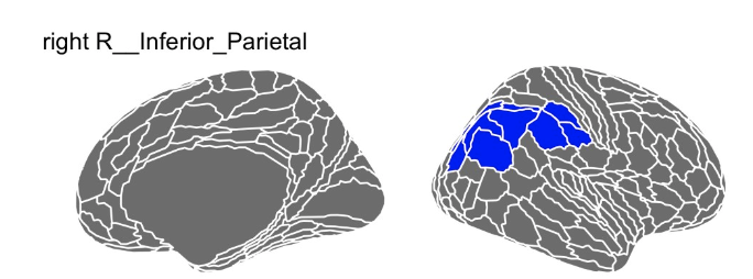
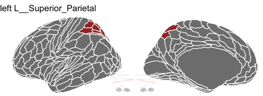
This repo includes a NIFTI file and a txt file with the 360 region labels. How do I visualize this to figure out the label names of the ROIs in question? I’ve tried to using Freeview, but I can’t figure out the syntax. I’m most familiar with Freeview but any software is fine! I’ve been told this is a time sensitive task to your help is very much appreciated!
Since you are looking at parcels on a surface, the most direct way would be to view directly the scene provided by the Glasser et al. team on balsa on the workbench viewer (looking for fig 3 in particular):
In particular you would need to install workbench viewer on your computer, download the files from the BALSA website from the link above, select the scene: Glasser_et_al_2016_MMP1.0_1_MainText.scene and choose “Figure3”.
Also, from the XCP_D software, the file: atlas-Glasser_dseg.tsv is useful to look at the correspondance between the CIFTI labels and other labels / names: